Tasik Kenyir declared National Geopark

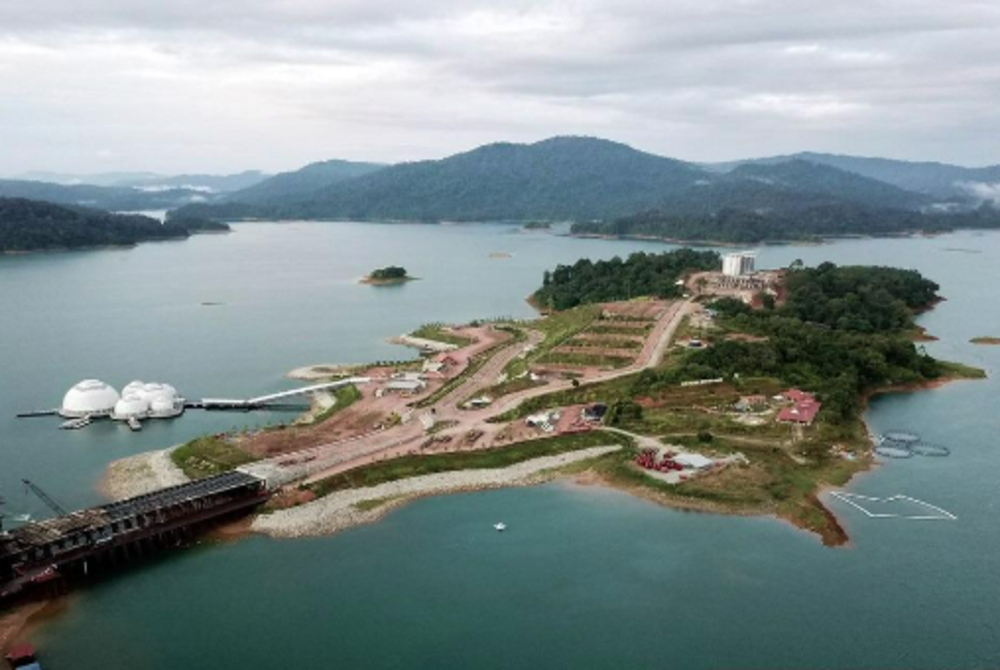
KUALA TERENGGANU - Tasik Kenyir, in the Hulu Terengganu district, has been declared a National Geopark and will be known as the Kenyir Geopark.
Terengganu Tourism, Culture and Digital Technology Committee chairman Ariffin Deraman said this recognition was announced by the National Geopark Committee in a meeting chaired by Natural Resources, Environment and Climate Change Ministry (NRECC) deputy secretary-general Abdul Wahid Abu Salim in Putrajaya yesterday.
Ariffin said the recognition was one of the best achievements of the state government, which has long been trying to establish Kenyir as a geopark as contained in the Terengganu Sejahtera Master Plan (Pitas 2030).
"Efforts to make Kenyir a geopark began in 2015, however, various obstacles had to be overcome before obtaining today’s recognition.
"The NRECC meeting also fixed 2027 for a reassessment of Kenyir’s status as a geopark,” he said in a media statement today.
Ariffin said this recognition will open up a new dimension for the Tasik Kenyir tourism sector, which is already a major tourist attraction.
He said it will also create various job and economic opportunities that will further develop the socioeconomics of the local community.
The Kenyir Geopark, occupying 244,900 hectares, comprises Tasik Kenyir, 340 islands, and 15 geosites including Bewah Cave, Gunung Gagau Tower, Batu Bersurat (Inscription Stone Memorial) and Taat Cave as well as the discovery of dinosaur footprints and fossils.
The important discovery has also opened up the potential of Bewah Cave as a national geoarchaeological site through the discovery of 'Bewah Man', the oldest known skeleton found in the country which is estimated to be 16,000 years old and a giant shell fossil, Shikamaia Sp estimated to be 250 million years old around the cave walls. - BERNAMA


