JPS developing flood forecast, warning system covering 74 river basins
18 Oct 2022 05:17pm

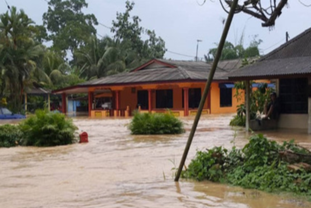
Image for illustrative purposes only - BERNAMA
JPS National Flood Forecasting and Warning Centre’s Water Resources Management and Hydrology Division Chief Assistant Senior Director Dr Salwa Ramly said for now, the first phase is operational in the Sungai Kelantan, Sungai Terengganu dan Sungai Pahang river basins.
"The PRAB model which will be completed in the second phase, meanwhile, will involve 38 river basins in the northern zone of Peninsular Malaysia right up to Sungai Perak as well as the East Coast. This is for the development of monsoon flood models.
"The remaining 33 river basins are in West Sabah and Sarawak with development of all models expected to be completed in 2030,” she said when appearing as a panelist in a webinar on the topic ‘Application of Information in Disaster Management: Issues, Challenges and Ways Forward’ organised by the National Disaster Management Agency (Nadma) today.
Salwa said the PRAB project will enable JPS to make monsoon flood forecasts seven days in advance and issue flood warnings two days in advance to relevant agencies as initial steps in dealing with the disaster.
"Before there was PRAB, we used to only make flood forecasts one day in advance while flood warnings were only given every six hours based on available data. Prior to this, our database system was according to state but for the PRAB programme, we implemented a centralised forecast database with more coverage,” she said.
Meanwhile, Universiti Kebangsaan Malaysia (UKM) Faculty of Information Technology and Science lecturer Associate Prof Dr Zulkefli Mansor said Malaysia currently needs an effective mechanism to integrate disaster management systems since each agency is now using its own.
"This causes data or information processed by each agency difficult to be obtained by Nadma to help them make decisions, take measures moving forward and so on because there is no data integration and sharing.
"This could be caused by several issues such as confidentiality, but there is still a need for a mechanism for all this data to be shared to Nadma or any agency handling disasters,” he said. - BERNAMA


