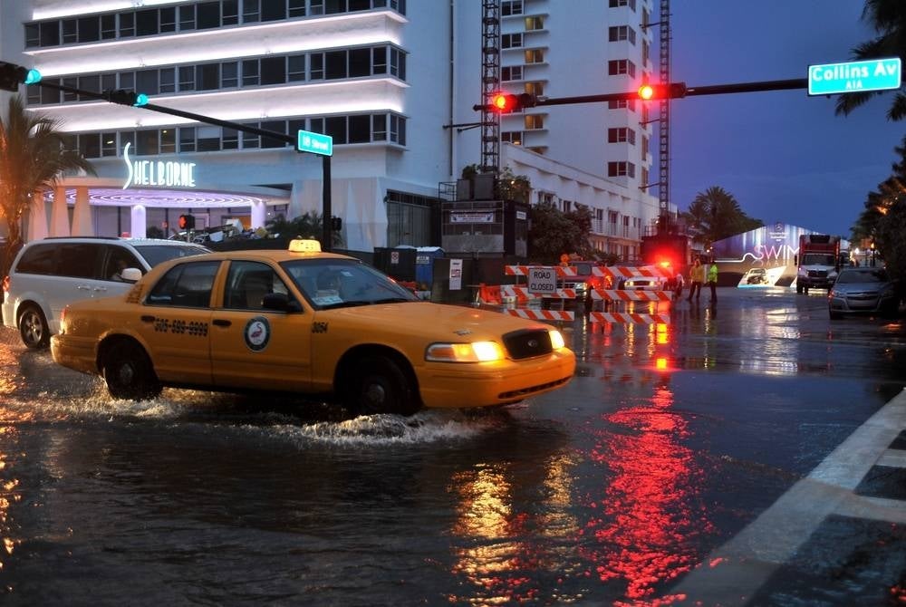
Hurricane Ian brings flooding, destruction as it moves through Florida
29 Sep 2022 10:05am

Image for illustrative purposes only - 123RF
Ian made landfall on Cayo Costa Island Wednesday afternoon as a powerful Category 4 hurricane, but even though it has been downgraded to a Category 3 storm, its wrath is still violent with 185 km/h sustained winds.
The National Hurricane Centre warned of "life-threatening" storm surges which have flooded coastal regions and heavy winds have destroyed buildings in Ian's path.
Around 1.9 million power outages have been reported during the initial stages of the hurricane's track and the slow-moving storm is expected to wreak more havoc as it moves northeast at just 12.8 km/h.
The storm is forecast to move across central Florida and the National Hurricane Centre is predicting more catastrophic wind damage and torrential rains.
"Widespread life-threatening catastrophic flash and urban flooding with major to record flooding along rivers is expected to continue across central Florida," the center said.
Orlando was under a hurricane warning and already experiencing heavy winds and rain as of Wednesday night with the brunt of Ian expected to hit early Thursday morning.
"We’ve asked all of our residents to start the process of sheltering in place,” said Orange County Mayor Jerry Demings at a news conference. "You should not be out on the roadways at this time moving about the community.”
Meteorologists are predicting 10 to 15 inches of rainfall in the Orlando area with the threat of significant and catastrophic flooding.
However, once Ian barrels through Florida, states on the Atlantic coast will feel its wrath next.
North Carolina and Virginia have already declared states of emergency in anticipation of the storm's expected damage in those areas which could include heavy rains, flooding and possible tornadoes. - BERNAMA


